Richard Horwood Paintings
Richard Horwood was an English cartographer active in the late 18th century, best known for his detailed map of London. Unfortunately, precise details about Horwood's early life, including his birth year, are not well-documented, which is not uncommon for many individuals of the period. What is known is that Horwood devoted a significant portion of his career to creating a large-scale map of the English capital.
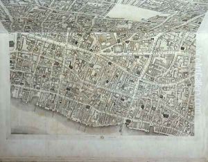
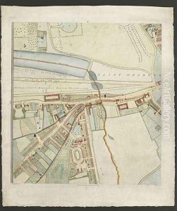
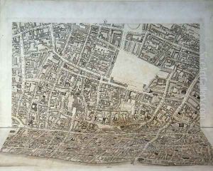
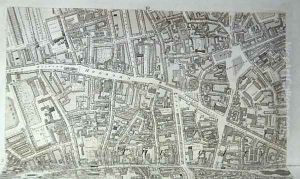
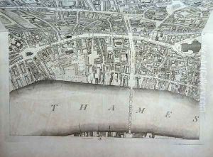
Horwood's most famous work is the 'PLAN of the Cities of LONDON and WESTMINSTER the Borough of SOUTHWARK, and PARTS adjoining Shewing every HOUSE', which was published in 32 sheets from 1792 to 1799. This ambitious project was the first to map the entire city of London at such a detailed scale, with each individual building plotted. The map was drawn at a scale of 26 inches to a mile and measured approximately 13 feet by 6.5 feet when fully assembled.
The creation of the map was a monumental task. Horwood intended to finance the project through subscription and began surveying in 1790. It took him several years to complete the surveying, during which time he encountered financial difficulties and the project almost came to a halt. Subscribers to the map included the Prince of Wales, the British Library, and the Archbishop of Canterbury, among others.
The map was an invaluable resource for a range of professionals, from developers and architects to administrators and insurers, providing a detailed view of the city during a period of rapid growth and change. It is still of great historical significance today, offering a snapshot of London at the turn of the 19th century.
Richard Horwood's map remained a definitive resource until the advent of the Ordnance Survey in the mid-19th century. Despite the importance of his work, Horwood died in relative obscurity in 1803. His map continues to be studied and admired for its accuracy and detail, and original prints of Horwood's map are now highly prized by collectors and historians.
