Nicolas de Fer Paintings
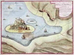
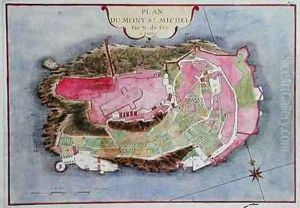
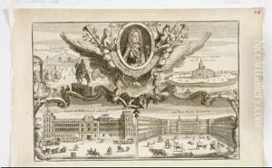
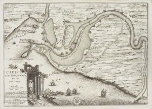
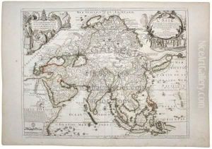
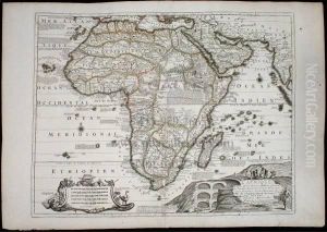
Nicolas de Fer was a prominent French geographer and cartographer, born in 1646 in Paris, France. He came from a family involved in cartography and map-selling, which facilitated his early exposure to the world of geography and mapmaking. De Fer took over his family's business at a young age and quickly established himself as one of the most prolific and influential mapmakers of his time. Over his career, he produced over 600 maps, atlases, and geographical treatises, significantly contributing to the cartographic knowledge of the 17th and early 18th centuries.
De Fer's work was known for its detailed and accurate depiction of geographical features, as well as its artistic quality. He was appointed as the official geographer to the French king, Louis XIV, a position that not only elevated his status but also provided him access to the latest geographical discoveries and explorations. De Fer's maps were widely circulated and used for navigation, exploration, and educational purposes, making him a key figure in the dissemination of geographical knowledge during his lifetime.
Despite his contributions to cartography, Nicolas de Fer's work has been subject to criticism for prioritizing aesthetic appeal over scientific accuracy in some cases. Nonetheless, his maps remain valuable historical documents, offering insights into the geographical understanding and aesthetic preferences of the late 17th and early 18th centuries. De Fer's legacy is preserved in numerous national libraries and private collections around the world, highlighting his enduring impact on the field of cartography. He passed away in 1720 in Paris, leaving behind a rich legacy of mapmaking that continues to be studied and admired by historians and cartographers alike.
