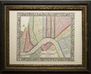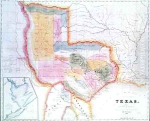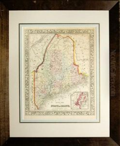


County Map Of The State Of Maine
-
About Reproduction
Discover the allure of art with our faithful reproduction of "County Map Of The State Of Maine", originally brought to life by the talented Samuel Augustus Mitchell. Unlike posters or prints, our hand-painted oil painting breathes an unique sense of depth and texture into your space. Every detail, every stroke, and every texture is meticulously recreated, paying the perfect homage to Samuel Augustus Mitchell and his artistic vision.
Owning this piece is more than just decoration - it's a statement of your refined taste in art. Let the vibrant colors and intricate details of this replica serve as a daily reminder of the beauty in our world. Elevate your decor and appreciate the richness of art with our replica of this masterpiece.
-
Painting Description
The "County Map Of The State Of Maine" is a notable cartographic work created by Samuel Augustus Mitchell, a prominent American geographer and publisher in the 19th century. Mitchell, known for his detailed and accessible maps, played a significant role in the dissemination of geographical knowledge during a period of rapid expansion and development in the United States. This particular map, which dates back to the mid-19th century, is a testament to his commitment to providing accurate and comprehensive geographical information.
The map meticulously delineates the counties of Maine, showcasing the state's administrative divisions with precision. It includes detailed representations of county boundaries, major towns, cities, and significant geographical features such as rivers, lakes, and mountain ranges. The map's design reflects the cartographic standards of the time, with an emphasis on clarity and utility for both educational and practical purposes.
Mitchell's maps were widely used in schools, homes, and by travelers, making them an essential resource for understanding the geography of the United States during that era. The "County Map Of The State Of Maine" is no exception, offering valuable insights into the state's layout and infrastructure during a period of significant growth and change.
In addition to its practical applications, the map is also of historical interest. It provides a snapshot of Maine's development in the 19th century, illustrating how the state's counties were organized and how its settlements were distributed. This makes it a valuable resource for historians, genealogists, and anyone interested in the historical geography of Maine.
Overall, the "County Map Of The State Of Maine" by Samuel Augustus Mitchell is a significant historical document that reflects the cartographic expertise and geographical knowledge of its time. Its detailed depiction of Maine's counties and geographical features continues to be of interest to scholars and enthusiasts of historical cartography.
-
Lead Time & Shipping
When you order this oil painting replica, it typically takes 2-3 weeks to paint. If the artwork is more complex, it might need a little more time to ensure the best quality. Once it's ready, we'll send you a photo for your approval. After you give the green light, we'll ship it to you for free.
-
Return & Refund
We believe in the quality of our hand-painted oil painting reproductions, and your satisfaction is our priority. If for any reason, you are not completely satisfied with your purchase, we offer a 45-day return policy. You can return your artwork within 45 days of receipt and receive a full refund. Please note that the artwork must be returned in the original packaging and in the same condition as it was received.


