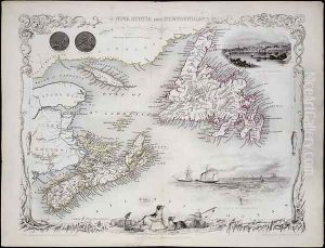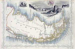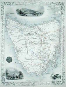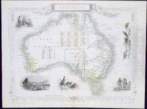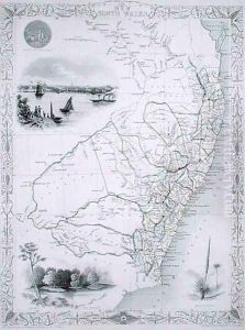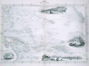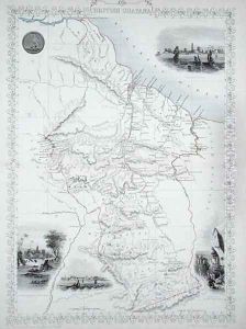
British Guyana, from a Series of World Maps published by John Tallis and Co., New York and London, 1850s
-
About Reproduction
Discover the allure of art with our faithful reproduction of "British Guyana, from a Series of World Maps published by John Tallis and Co., New York and London, 1850s", originally brought to life by the talented John Rapkin. Unlike posters or prints, our hand-painted oil painting breathes an unique sense of depth and texture into your space. Every detail, every stroke, and every texture is meticulously recreated, paying the perfect homage to John Rapkin and his artistic vision.
Owning this piece is more than just decoration - it's a statement of your refined taste in art. Let the vibrant colors and intricate details of this replica serve as a daily reminder of the beauty in our world. Elevate your decor and appreciate the richness of art with our replica of this masterpiece.
-
Painting Description
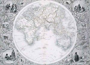
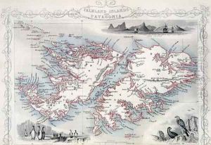
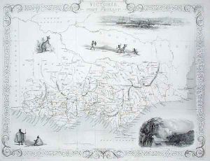
"British Guyana, from a Series of World Maps published by John Tallis and Co., New York and London, 1850s" is an intricately designed map created by the renowned cartographer John Rapkin. This map is part of a larger collection produced by John Tallis and Co., a prominent map publishing company during the mid-19th century, known for its detailed and decorative cartographic works. The maps from this series are celebrated for their artistic embellishments, including vignettes and elaborate borders, which were characteristic of Tallis's publications.
John Rapkin, the cartographer behind this map, was known for his precision and artistic flair. His works often combined geographical accuracy with aesthetic appeal, making them popular both as practical tools and as decorative pieces. The map of British Guyana, as with others in the series, would have been meticulously engraved and likely featured various illustrations depicting local scenes, flora, fauna, and possibly notable figures or events relevant to the region.
British Guyana, now known as Guyana, was a British colony on the northern coast of South America. During the 1850s, when this map was published, the colony was an important site for sugar plantations and other agricultural enterprises, largely worked by indentured laborers following the abolition of slavery. The map would have provided contemporary viewers with valuable insights into the geography of the colony, including its rivers, settlements, and territorial boundaries.
The publication of this map in both New York and London underscores the transatlantic interest in detailed and decorative maps during this period. Tallis's maps were highly regarded for their quality and were often included in atlases and other collections aimed at both educational and decorative markets. The map of British Guyana by John Rapkin remains a significant historical artifact, reflecting both the cartographic practices of the time and the colonial interests in the region.
-
Lead Time & Shipping
When you order this oil painting replica, it typically takes 2-3 weeks to paint. If the artwork is more complex, it might need a little more time to ensure the best quality. Once it's ready, we'll send you a photo for your approval. After you give the green light, we'll ship it to you for free.
-
Return & Refund
We believe in the quality of our hand-painted oil painting reproductions, and your satisfaction is our priority. If for any reason, you are not completely satisfied with your purchase, we offer a 45-day return policy. You can return your artwork within 45 days of receipt and receive a full refund. Please note that the artwork must be returned in the original packaging and in the same condition as it was received.