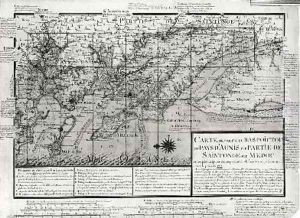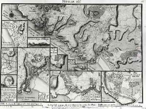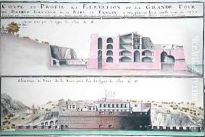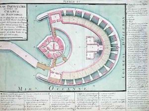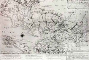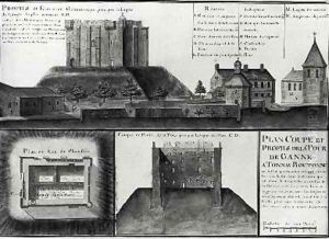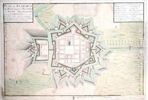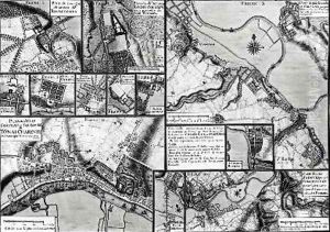
Map of the towns and chateaux situated along the Charente River in 1714 from Recueil des Plans de Saintonge
-
About Reproduction
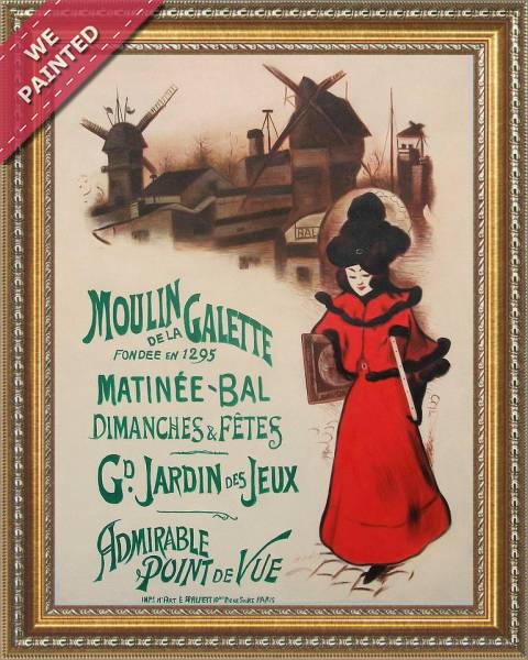
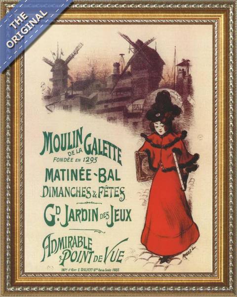
Bring the timeless beauty of Claude Masse's Map of the towns and chateaux situated along the Charente River in 1714 from Recueil des Plans de Saintonge into your home with a handmade oil painting reproduction. Carefully recreated on canvas by skilled artists using traditional techniques, this piece captures the delicate brushwork, subtle light, and vibrant color of the original masterpiece. With museum-level quality and rich texture, it brings elegance and artistic depth to any space. Enjoy free shipping and make this masterpiece a part of your personal collection.
-
Lead Time & Shipping
When you order this oil painting replica, it typically takes 2-3 weeks to paint. If the artwork is more complex, it might need a little more time to ensure the best quality. Once it's ready, we'll send you a photo for your approval. After you give the green light, we'll ship it to you for free.
-
Return & Refund
We believe in the quality of our hand-painted oil painting reproductions, and your satisfaction is our priority. If for any reason, you are not completely satisfied with your purchase, we offer a 45-day return policy. You can return your artwork within 45 days of receipt and receive a full refund. Please note that the artwork must be returned in the original packaging and in the same condition as it was received.