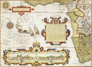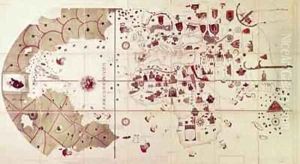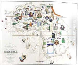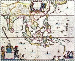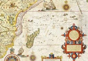


Map of East Africa and Madagascar
-
About Reproduction
Discover the allure of art with our faithful reproduction of "Map of East Africa and Madagascar", originally brought to life by the talented Arnold Florent van Langren. Unlike posters or prints, our hand-painted oil painting breathes an unique sense of depth and texture into your space. Every detail, every stroke, and every texture is meticulously recreated, paying the perfect homage to Arnold Florent van Langren and his artistic vision.
Owning this piece is more than just decoration - it's a statement of your refined taste in art. Let the vibrant colors and intricate details of this replica serve as a daily reminder of the beauty in our world. Elevate your decor and appreciate the richness of art with our replica of this masterpiece.
-
Painting Description
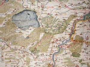
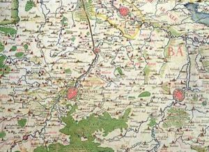
"Map of East Africa and Madagascar" is a notable historical cartographic work by Arnold Florent van Langren, a distinguished cartographer from the Langren family, which was prominent in the field of map-making during the 16th and 17th centuries. This map, created in the late 16th century, represents one of the early European attempts to accurately depict the geography of East Africa and the island of Madagascar, reflecting the growing European interest in exploration, navigation, and trade in the Indian Ocean and the African continent.
Arnold Florent van Langren, serving in his capacity as a royal cartographer, utilized the limited yet expanding knowledge of African geography of his time, derived from explorers, traders, and missionaries, to compile a map that was both a work of art and a practical tool for navigation. The map is significant not only for its historical value but also for its contribution to the understanding and representation of East African and Madagascan geography during a period when such regions were largely mysterious to Europeans.
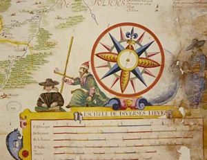
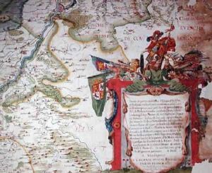
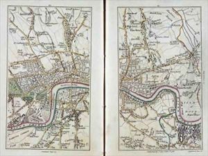
The "Map of East Africa and Madagascar" is characterized by its detailed depiction of coastal lines, major rivers, mountain ranges, and the placement of settlements and regions, some of which are annotated with names that reflect the linguistic and cultural influences of the time. It also includes maritime routes, illustrating the paths taken by European explorers and traders around the continent and to Madagascar, thereby offering insights into the dynamics of early modern global trade networks.
This map is an important artifact in the history of cartography, showcasing the evolution of map-making techniques, the expansion of geographical knowledge, and the intercultural exchanges between Europe and Africa during the Age of Discovery. It remains a subject of study for historians, geographers, and cartographers, providing a window into the perceptions and imaginations of Europeans regarding the African continent and its peoples during a pivotal period in global history.
-
Lead Time & Shipping
When you order this oil painting replica, it typically takes 2-3 weeks to paint. If the artwork is more complex, it might need a little more time to ensure the best quality. Once it's ready, we'll send you a photo for your approval. After you give the green light, we'll ship it to you for free.
-
Return & Refund
We believe in the quality of our hand-painted oil painting reproductions, and your satisfaction is our priority. If for any reason, you are not completely satisfied with your purchase, we offer a 45-day return policy. You can return your artwork within 45 days of receipt and receive a full refund. Please note that the artwork must be returned in the original packaging and in the same condition as it was received.

